Why should you learn spatial science?
Spatial science is the branch of engineering dealing with the analysis and visualization of the living environment. Spatial science is designed in such a way that it explains location, place, spatial pattern, and spatial interaction in a structured pattern.
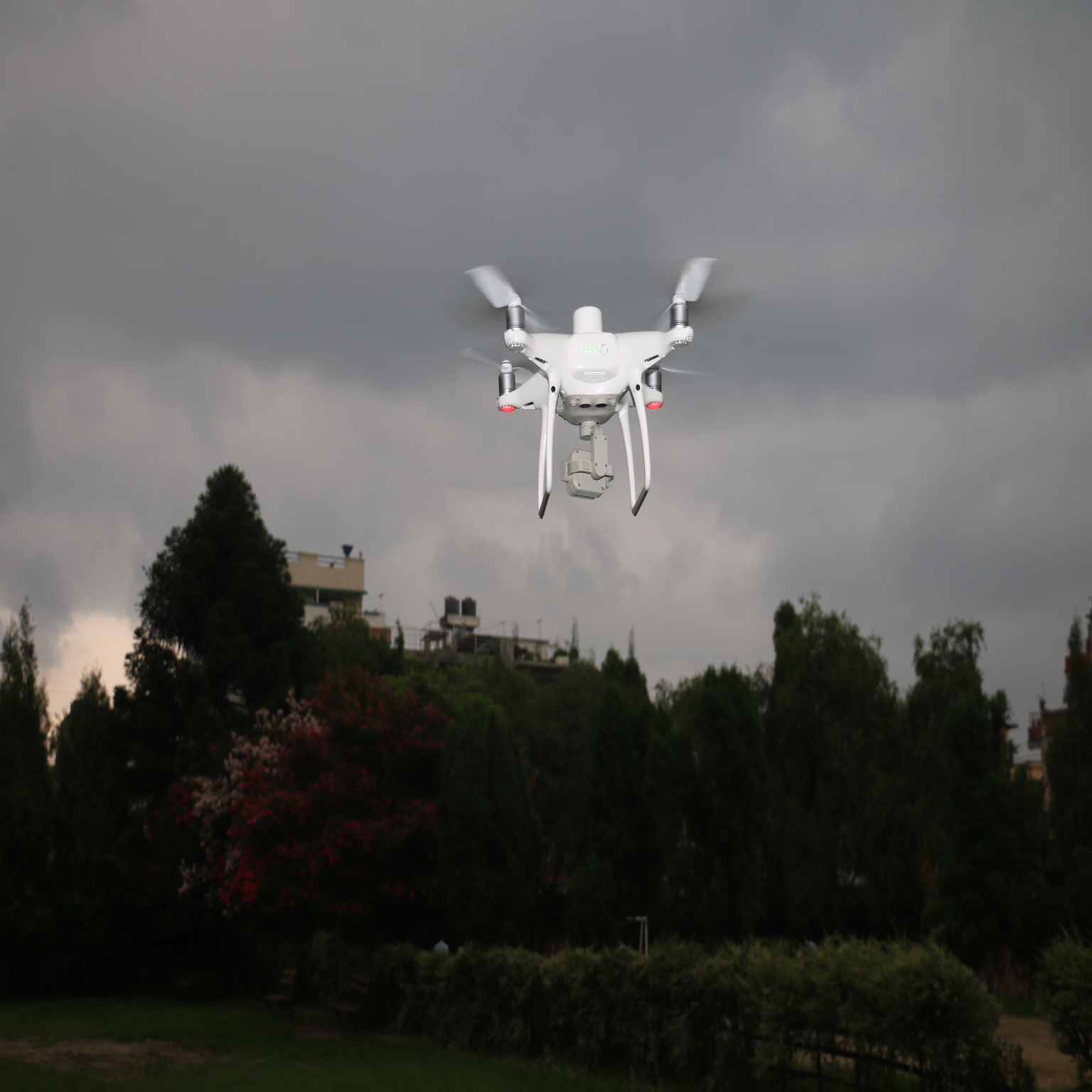
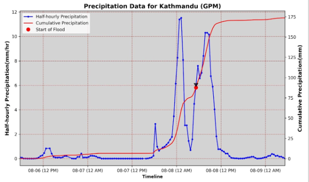
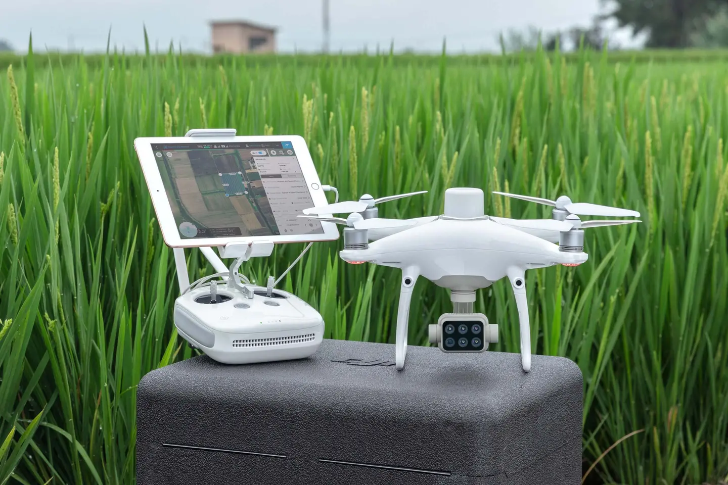
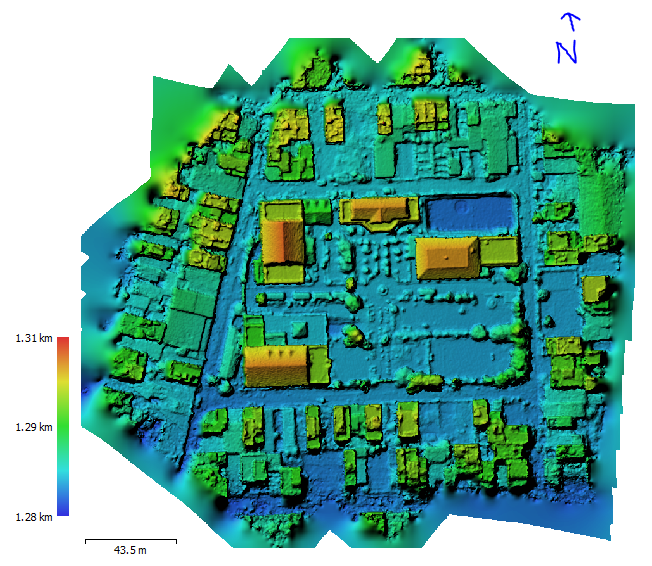
In the present time, the attraction towards spatial science is growing. Improvement in the capture of spatial data through satellite and the inclusion of spatial data in the database construction has led to the development of a larger dataset. With the rise in computing power and desperate attempts to develop near-perfect modeling, the use of spatial science is increasing. Presently, modeling the environment to simulate hazards requires representation of the environment in natural conditions. The software applied for the analysis, like HEC-RAS, HEC-HMS, SWMM, etc., have integrated GIS portions within them for more accessible spatial data analysis.
With the rise in computing power and desperate attempts to develop near-perfect modeling, the use of spatial science is increasing.
In this section, students will find the recent tutorials and blogs written for spatial science. I believe these basic introductions to different branches of spatial science bring curiosity to the students, and they will utilize the learned knowledge in necessary scenarios.